Saint Martin Island: Bangladesh’s Strategic Gem in the Bay of Bengal

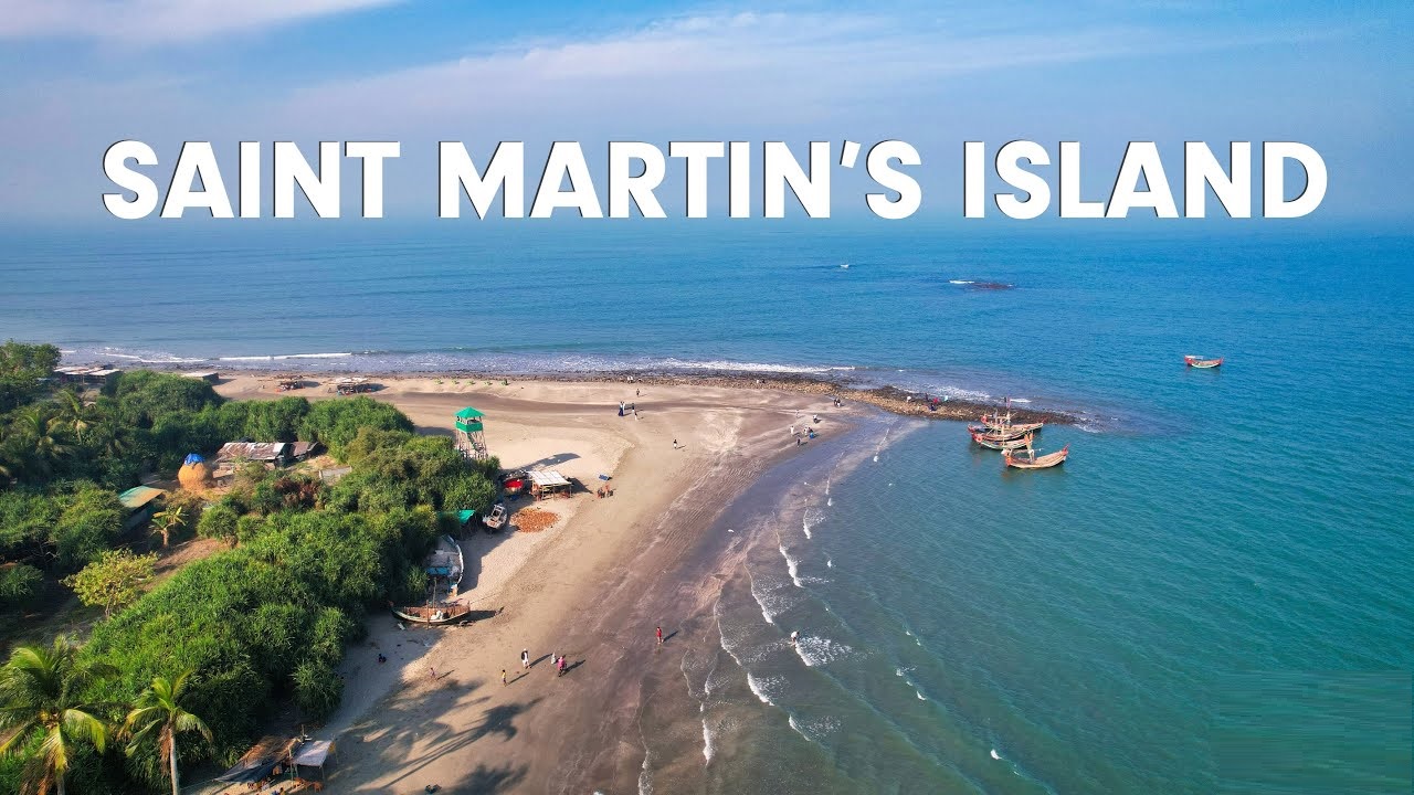
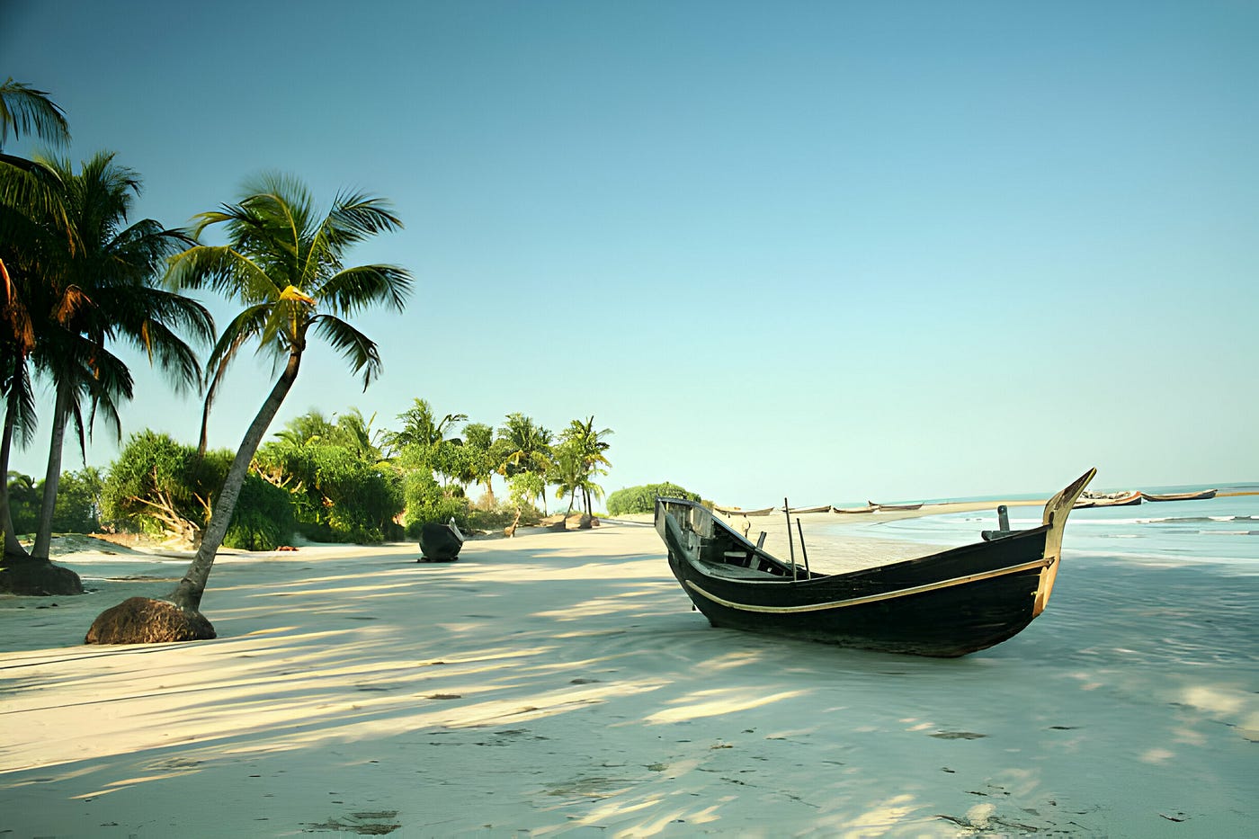
St. Martin’s Island lies in the north-eastern part of the Bay of Bengal, and it is the only coral island in Bangladesh. It occupies an area of only three square kilometres, and hence, it is a very small but highly important piece of land that is well renowned for its natural beauty and high biodiversity. It is usually called Narikel Jinjira, that is, Coconut Island by the locals and sometimes Daruchini Dwip, or Cinnamon Island, because of the reasons being fully covered with coconut trees and has picturesque landscapes.
Saint Martin Island Bangladesh Issue
Saint Martin Island, Bangladesh, has fallen at the centre of geopolitical debates lately, especially its strategic position of the island. The area close to the Bay of Bengal is interesting not only due to its closeness to Myanmar and the Strait of Malacca but also because it represents the point of a potential interest holder for nations in establishing a force in the region. It represents strategic importance, followed by multiple claims and counterclaims of the Azamalari control and possible military use.

Saint Martin Island Bangladesh USA
The Saint Martin Island Bangladesh issue was brought into the international scene after ex-Prime Minister Sheikh Hasina made some allegations. Reports indicated that Hasina had accused the United States of plotting her ouster after she denied a US request to take control of Saint Martin Island to set up a military base. While the United States State Department and Hasina’s son Sajeeb Wazed had fiercely denied these allegations, they definitely caused public interest in the island’s strategic value.
History of Saint Martin Island
Concerning Saint Martin Island for both Bangladesh and Myanmar has historical facts. This island was first inhabited by Arabian merchants in the 18th century before the area became part of British India. It became a part of Pakistan after the partition in 1947 and later became part of Bangladesh when it gained independence in 1971. In 1974, then East Pakistan, now Bangladesh, and Burma confirmed this island as part of the Bangladeshi territory. However, disputes do emerge from time to time, more so whenever the military junta of Myanmar lays claim to the occupation of the island.
Saint Martin Island Bangladesh Religion
In terms of religion, the majority of the population is of Muslim background; this relates to the larger religious affiliation in Bangladesh.
Saint Martin Island Bangladesh Area
Population of Saint Martin Island, Bangladesh is around 3,700 people. Most of the residents of this island are involved in fishing, rice cultivation, coconut cultivation, and seaweed aquaculture. The produce of these livelihoods are most of the time traded to Myanmar and thus the economic value of this island is greatly increased.
Saint Martin Island, Bangladesh is not only a beauty spot for sightseers; it is an area of immense strategic importance to both regional and global powers in the Bay of Bengal. Going by the latest Saint Martin Island Bangladesh news and allegations of US interest in the island, the landmass might be insignificant in size but means a lot to global geopolitics. As things unfold, the world will be keenly watching to see how issues relating to Saint Martin Island, Bangladesh, will unravel.
FAQ
Why is Saint Martin, Bangladesh famous?
With a diverse marine life like corals, Saint Martin is famous for its natural beauty and clear water.
Who owns St. Martin Island?
Saint Martin is an island with a total area of 87 km². It is divided under the sovereignty of the French Republic, with an area of 53 km², and the Kingdom of the Netherlands, with an area of 34 km². This constitutes the only land border of both the French Republic and the Kingdom of the Netherlands.
How to reach St. Martin Island, Bangladesh?
There is only water transport, namely, boats and ships, connected with Cox’s Bazar or Teknaf to reach St. Martin’s Island in Bangladesh. The island is located 120 kilometres south of Cox’s Bazar city.
How big is St. Martin Island in Bangladesh?
St Martin Island in Bangladesh is a small island of around 8 km2.


